Lot 190 , Thomas Moule (1784-1851), hand coloured engraving, Map of Sussex, as published c.1836-48) in Barclay's English Dictionary, 20.2 x 20.6cm, framed and glazed; Robert Morden (1650-1703), hand coloured engraving, Map of Kent
, hand coloured engraving, Map of Sussex, as published c.1836-48) in Barclay's English Dictionary, 20.2 x 20.6cm, framed and glazed; Robert Morden (1650-1703), hand coloured engraving, Map of Kent")
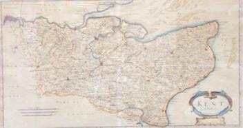
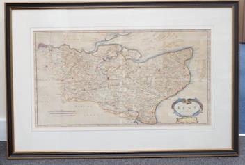
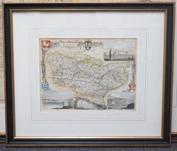
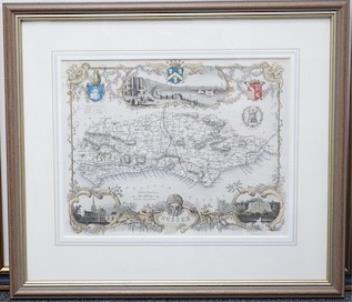
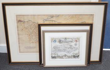
Thomas Moule (1784-1851), hand coloured engraving, Map of Sussex, as published c.1836-48) in Barclay's English Dictionary, 20.2 x 20.6cm, framed and glazed; Robert Morden (1650-1703), hand coloured engraving, Map of Kent, published c.1695 from Camden's Britannica, 35 x 64cm), framed and glazed, and Thomas Moule (1784-1851), hand coloured engraving, Map of Kent, as published c.1836-1848 in Barclay's English Dictionary, 20.5 x 26.5cm., framed and glazed
Provenance: Jonathan Potter Maps Ltd.
£100-150
Unsold