
Lot 1614 , Six unframed British wartime maps, c.1940, comprising Daily Telegraph War Maps from a European plotting series, including maps covering the North African and Russian fronts, together with contemporary War Office/regional
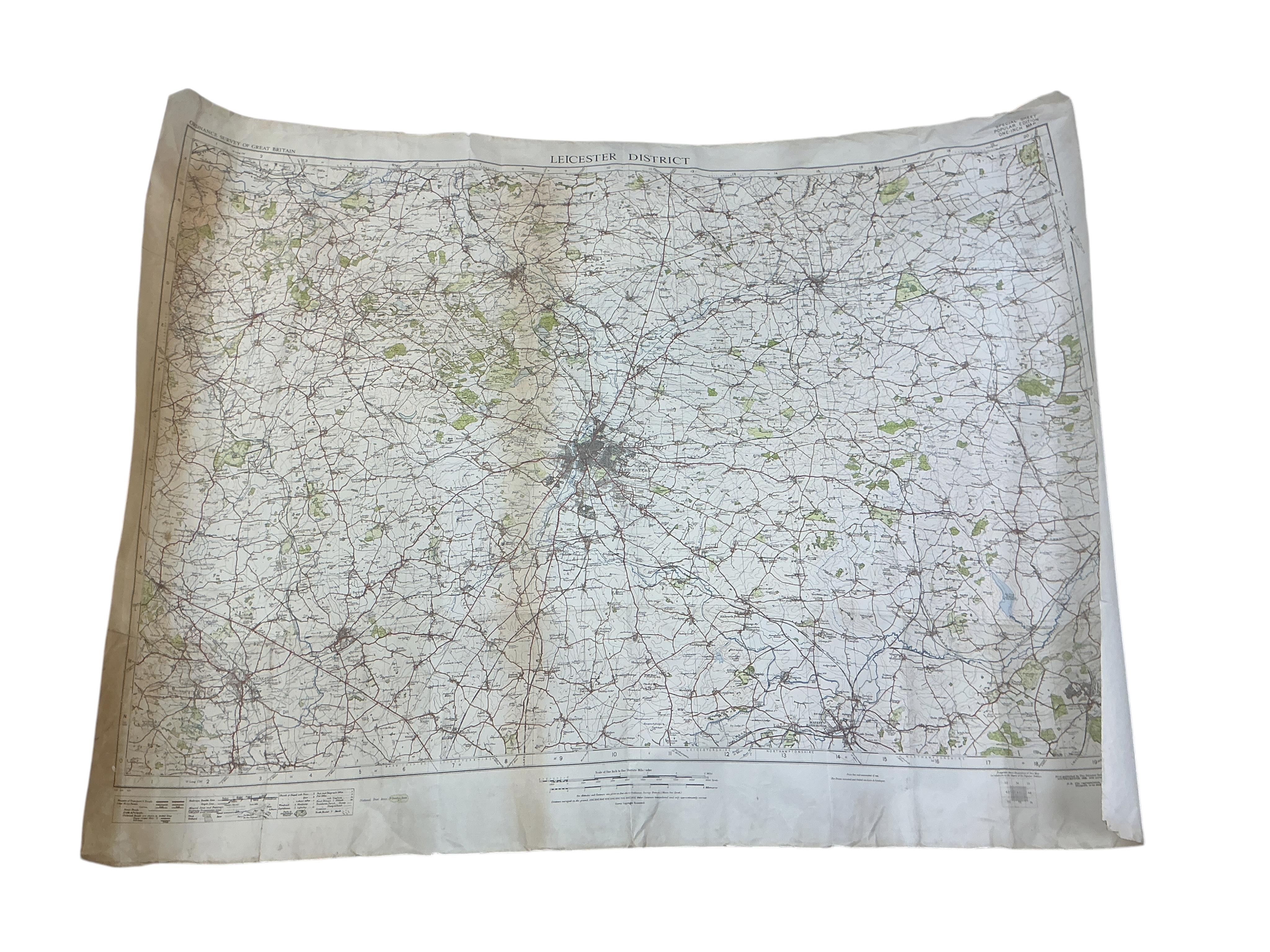
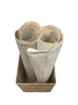
Six unframed British wartime maps, c.1940, comprising Daily Telegraph War Maps from a European plotting series, including maps covering the North African and Russian fronts, together with contemporary War Office/regional maps of the Strait of Dover, Pontypridd & Barry and Leicestershire District. Mostly military, geographical and wartime reference material.
£40-60
Sold for £20