Lot 1570 , Brohier, R.L. and Paulusz, J.H.O. - Land, Maps & Surveys: descriptive catalogue of historical maps in the Surveyor General's Office ... vol. 2. (only). 59 maps (mostly folded, some coloured); rebound unlettered binder's
. 59 maps (mostly folded, some coloured); rebound unlettered binder's")
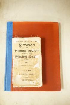
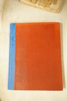
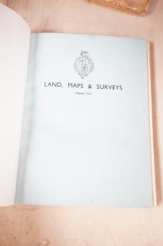

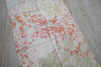
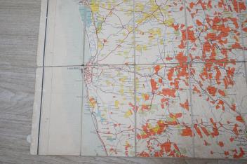
° Brohier, R.L. and Paulusz, J.H.O. - Land, Maps & Surveys: descriptive catalogue of historical maps in the Surveyor General's Office ... vol. 2. (only). 59 maps (mostly folded, some coloured); rebound unlettered binder's cloth, original wrappers preserved, 4to. Colombo: Ceylon Government Press, 1951; sold with - Diagram (ie.Map) of the Planting Districts of Ceylon showing the Principal Estates. revised edition. large folded map on linen, opening to 117 x 134cm., scale 1 inch to 3 miles., printed paper label. Colombo: Government Surveyor General, July 1926 *very detailed and colour coded for the tea, rubber, coconut, cacao, cinnamon, cardomans and citronella products; contoured & with rivers, lakes and other natural features; roads, and railways, rest houses, police stations and post offices, also place names as well as the many estates delineated (2)
£120-160
Condition:
1) Good, detailed text. xxi, 195pp. 2) v. detailed; tears at some folds, but minimum loss, few brown stains (top left corner) non obscuring; v.scarce
Sold for £120