Lot 155 , A mid 19th century map of the London and Birmingham Railway, entitled; Plan of the Line and Adjacent Country, 1835, Robert Stephenson Engineer, the map divided into two plates mounted on linen and contained within a gilt

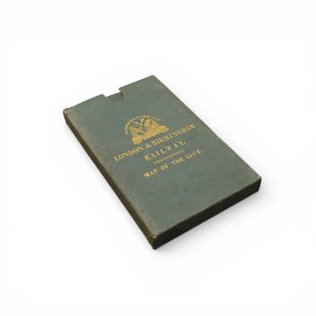
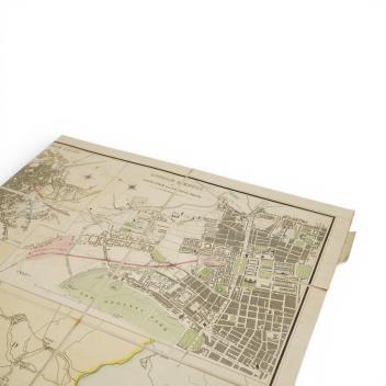
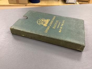
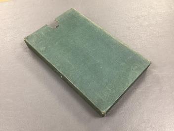
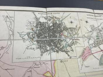
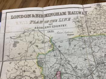
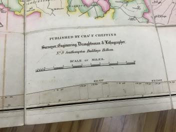
A mid 19th century map of the London and Birmingham Railway, entitled; Plan of the Line and Adjacent Country, 1835, Robert Stephenson Engineer, the map divided into two plates mounted on linen and contained within a gilt embossed green leather slipcase, published by Charles F. Cheffins, surveyor, engineering Draftsman & Lithographer, No.9 Southampton Buildings, Holborn
£150-200