Lot 157 , A mid-19th century Bradshaw’s Railways of Great Britain, comprising of two linen mounted maps, edged in green cloth (divided into East and West), and contained within the original gilt embossed leather slip case with own
, and contained within the original gilt embossed leather slip case with own")
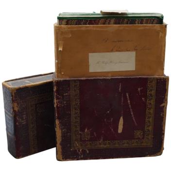
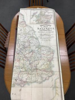
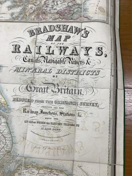
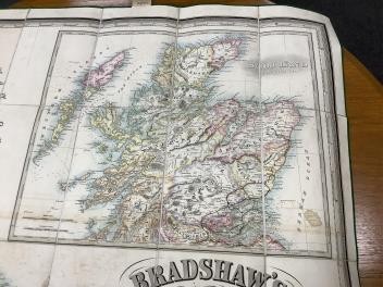
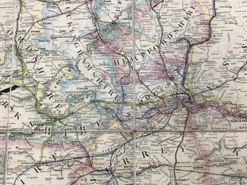
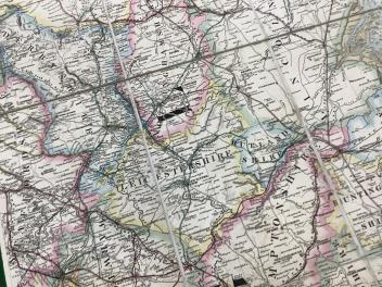
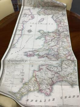
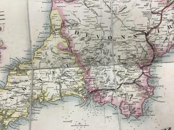
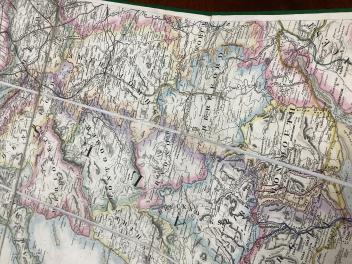
A mid-19th century Bradshaw’s Railways of Great Britain, comprising of two linen mounted maps, edged in green cloth (divided into East and West), and contained within the original gilt embossed leather slip case with owner’s label, engraved and printed by John Dower, Pentonville Hill, London, entitled; Bradshaw’s map of the Railways, Canals, Navigable Rivers & Mineral Districts of Great Britain, Reduced from the Ordnance Survey, shewing all the railway junctions, stations &c., Revised and corrected by W.R. Botham of the London & North Western Railway.
£80-120
Condition:
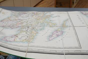
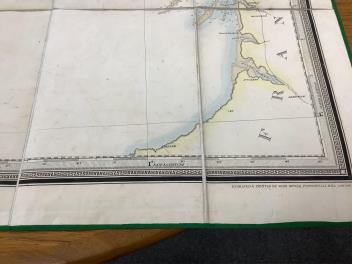
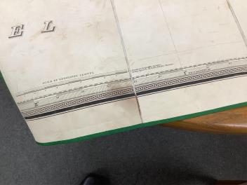
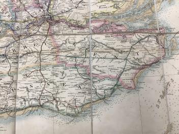
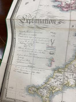
Images 3-10 England. The other , including Navigable Rivers, images 11 to 14.
Sold for £380