Lot 1745 , Benjamin Rees Davies, 19th century framed folding railway map of the British Isles and part of France, 1871, 95 x 79cm

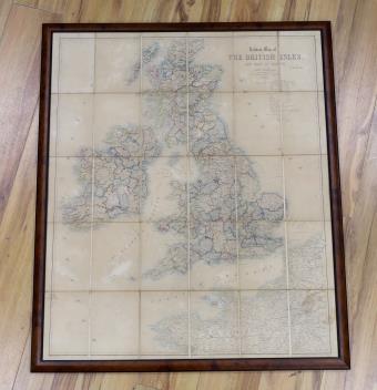
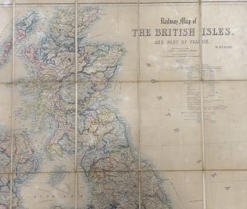
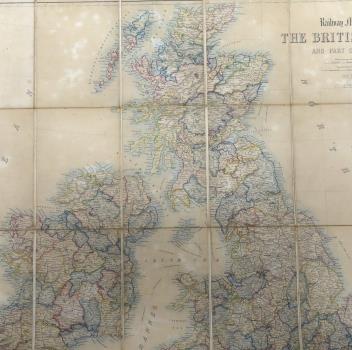
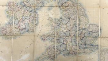
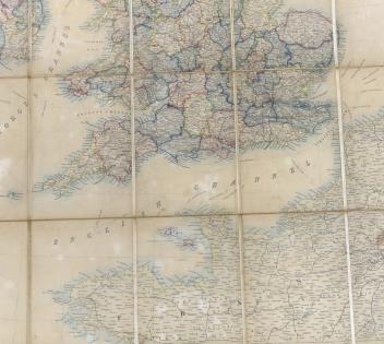
Benjamin Rees Davies, 19th century framed folding railway map of the British Isles and part of France, 1871, 95 x 79cm
£150-200
Unsold