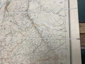
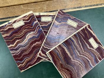
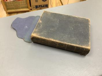
Lot 438 , Stanford's Library Map of Europe ... by A. Keith Johnston ... 4 sheets, coloured and folded on line, sheets approx. 75 x 82cm within ruled borders, contained in original morocco case, 1876

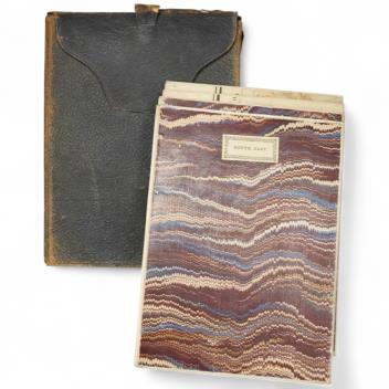
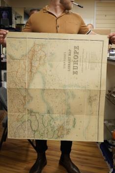
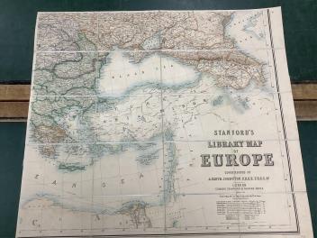
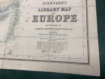

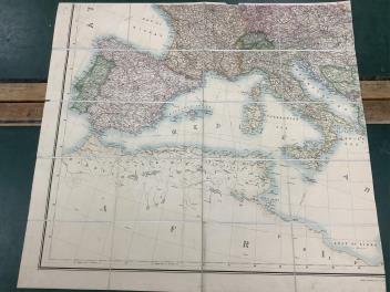


° Stanford's Library Map of Europe ... by A. Keith Johnston ... 4 sheets, coloured and folded on line, sheets approx. 75 x 82cm within ruled borders, contained in original morocco case, 1876
£60-80
Condition:
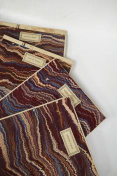
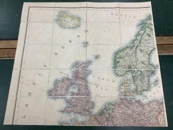
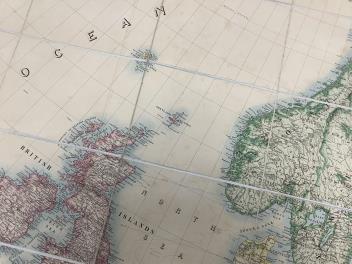
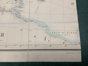
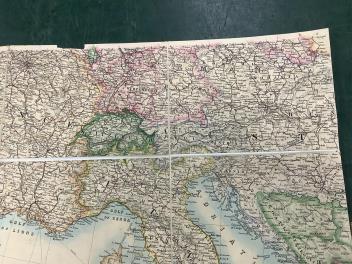
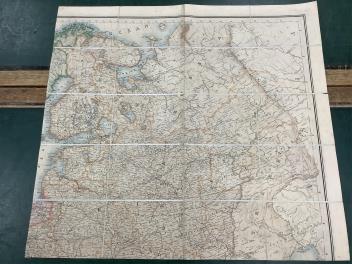
Case with sl. wear, else good, scale approx. 1 inch to 50 miles, incl. roads, railways and canals. South East - images 4 to 7; (“Additions to 1876”). North West - images 8 and 9. South West - images 10 to 12; small rectangular cut top right, as shown. (“Published June 1858”). North East - small tear to one side, as shown, images 13 to 15. All have pin-holes at edges/corners; light foxing only, no detrimental dark stains. Morocco case worn; folds at top weak; tears to edges.
Sold for £120