
Lot 1144 , (Railway maps). Collins, (H.G.) - England and Wales. (c. 1850) Victorian map of the country with attention to its roads and railway lines. (frame: 53 x 60, image: 42 x 35 cm). expertly mounted and framed
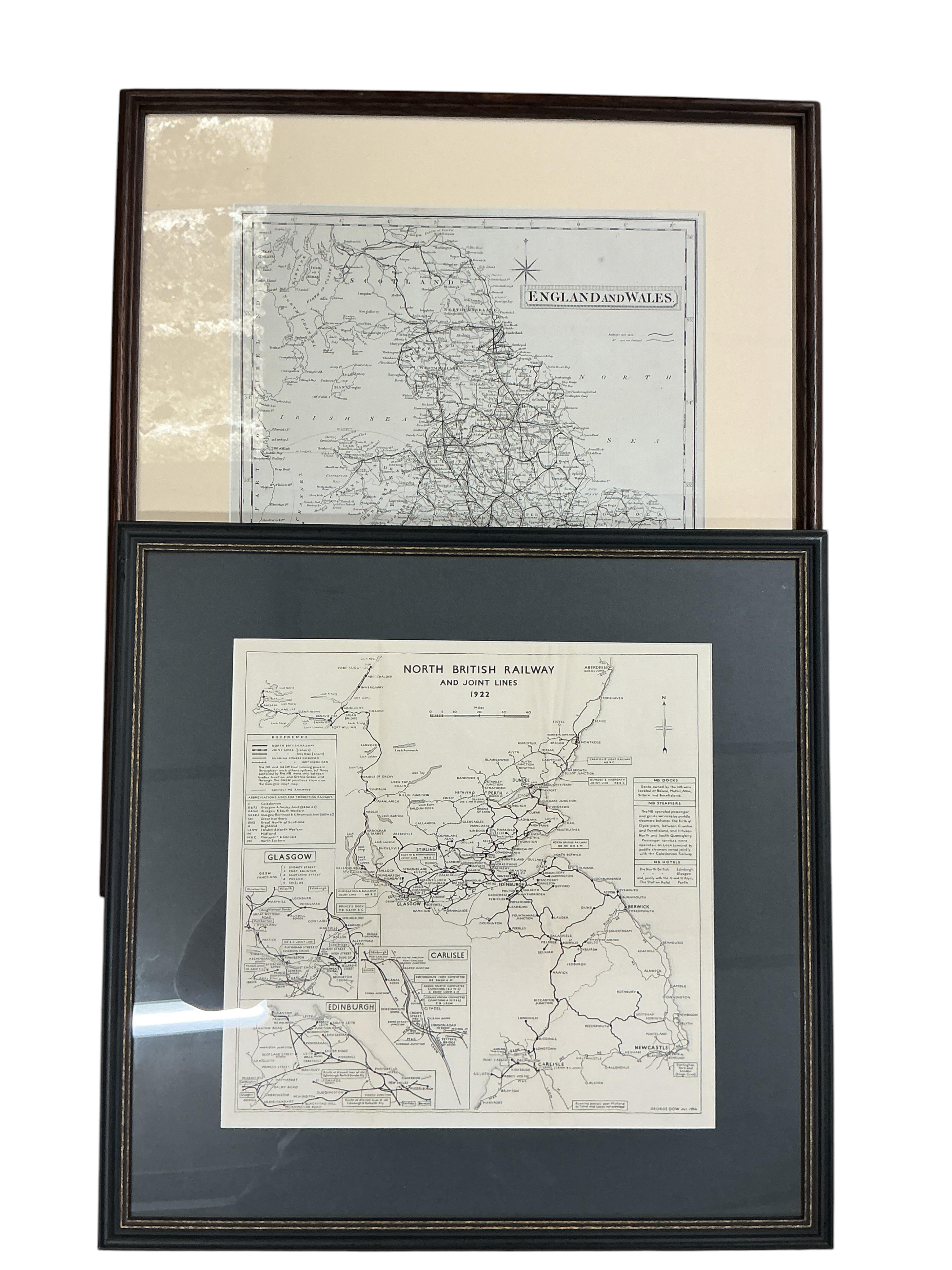
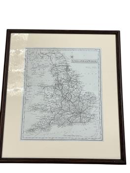
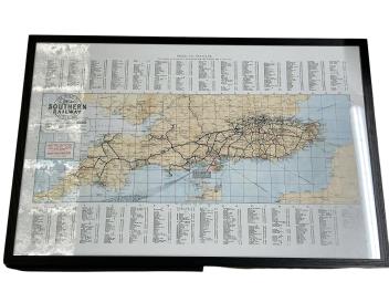
(Railway maps). Collins, (H.G.) - England and Wales. (c. 1850) Victorian map of the country with attention to its roads and railway lines. (frame: 53 x 60, image: 42 x 35 cm). expertly mounted and framed; with three others: North British Railway and Joint lines 1922 (1956) (frame: 51 x 51.5, image 34 x 35 cm) b/w printed map; Great Western Railway (pre Beeching) printed map (frame : 61 x 76 cm) expertly mounted and framed.; The Road to Southern Railway Sunshine - printed map (59 x 90 cm) expertly framed in a double sided frame. (4)
£80-100
Unsold