Lot 450 , An Airey's Railway Map of England & Wales, a folding map laid on cloth with gilt embossed hard covers, compiled from the Ordnance Survey and published by McCorquodale & Co., 1878

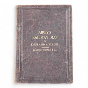
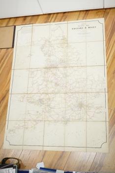
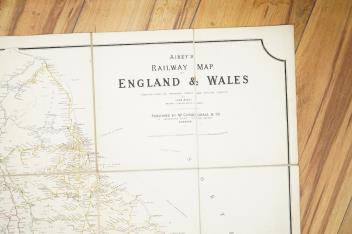

An Airey's Railway Map of England & Wales, a folding map laid on cloth with gilt embossed hard covers, compiled from the Ordnance Survey and published by McCorquodale & Co., 1878
£80-120
Condition:
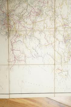
in generally good condition with some minor wear and staining.
Sold for £95